2K (1920 pixels)
Spatial Resolution

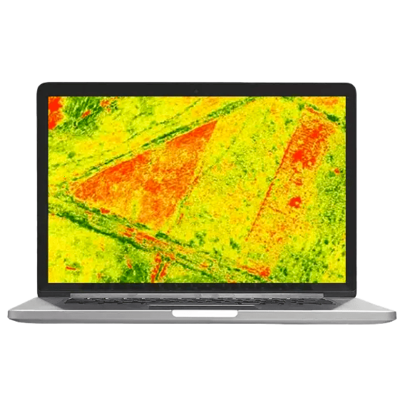
30 to 180 channels
Spectral Channels

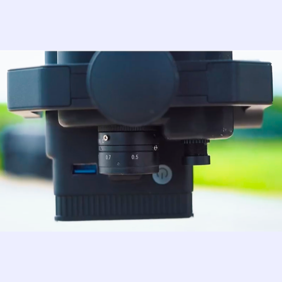
2.8 cm GSD @ 120m
Data Precision

54 m swath width
Coverage Speed
54m@h120m
Covering Width
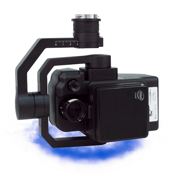
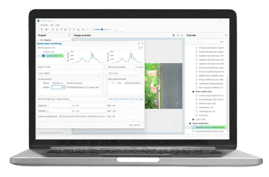
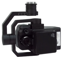
FigSpec Studio
Advanced software for capturing, processing, and analyzing hyperspectral data with precision.
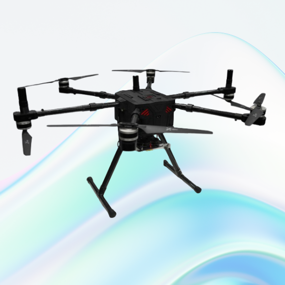
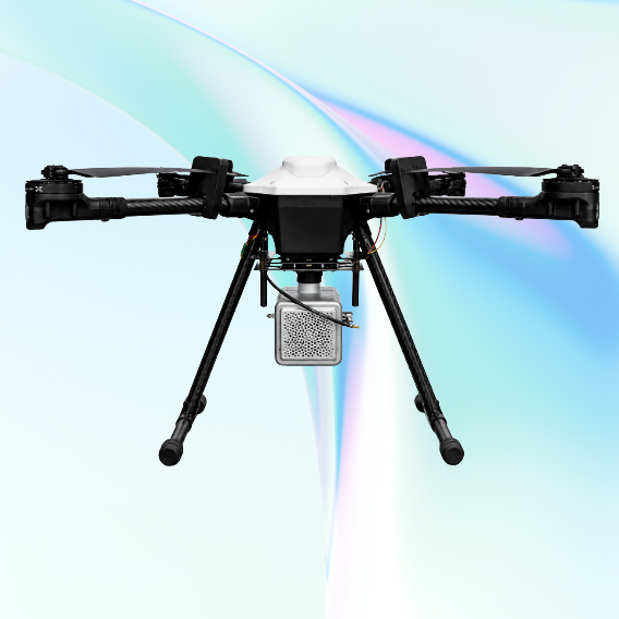
JATAYUH MAX UAV
Powering Smarter Missions
UAV for Every Customised Need
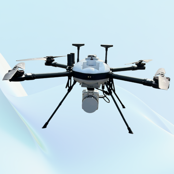
SHAURYA UAV
Delivering Distinction
Professional LiDAR & Multispectral Drone
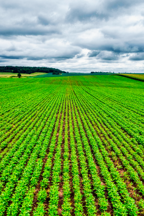
Precision Agriculture

Crop Monitoring

Forestry
Learn More

Public Safety & Defence

Disaster Management

Industrial Inspection