During Flight 0-100%
Real-time Onboard
CWSI Processing

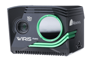
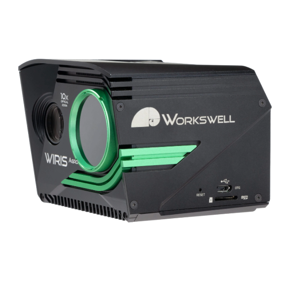
NETD
0.03 °C (30 mK)
Thermal Sensitivity

Type
Full Radiometric
Thermal Data Type

Range
-10 °C to +50 °C
Operating Temperature

RGB + Biomass Intelligence
Full HD RGB
with 10x optical zoom

<
430 g
Weight
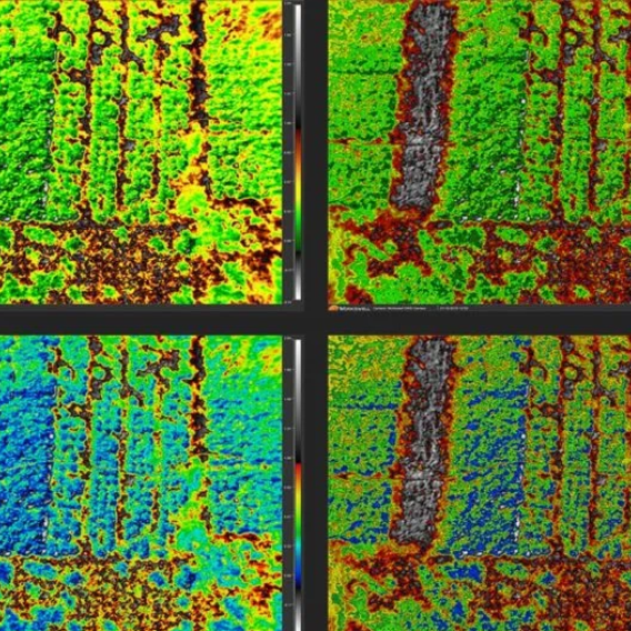
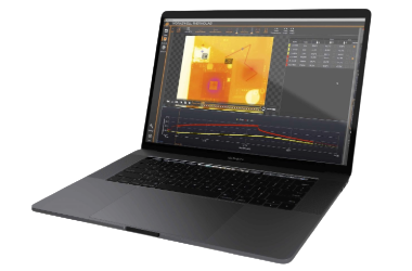
ThermoLab
Advanced thermogram analysis with GPS tagging and RGB visual integration.
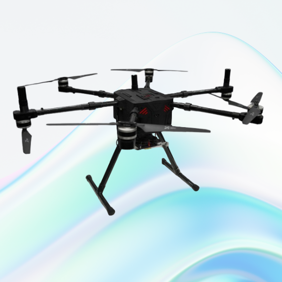
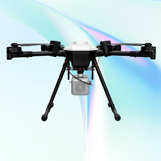
JATAYUH MAX UAV
Powering Smarter Missions
UAV for Every Customised Need
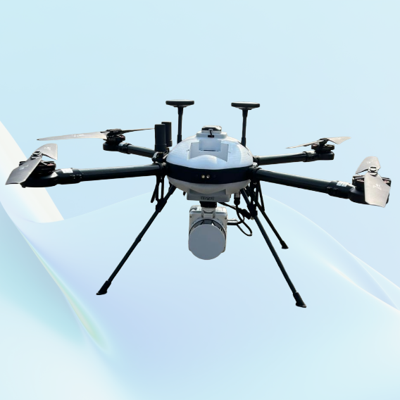
SHAURYA UAV
Delivering Distinction
Professional LiDAR & Multispectral Drone
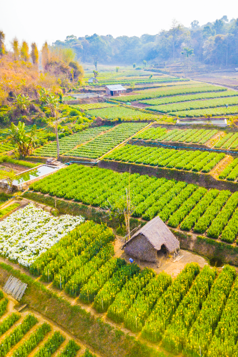
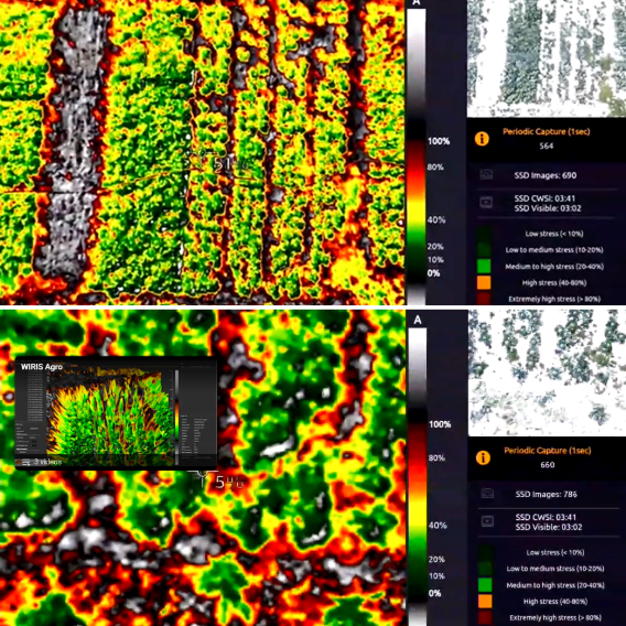
Crop Water Stress Monitoring
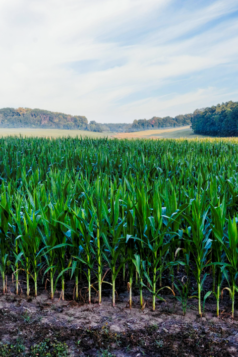
Biomass Cover Index Evaluation
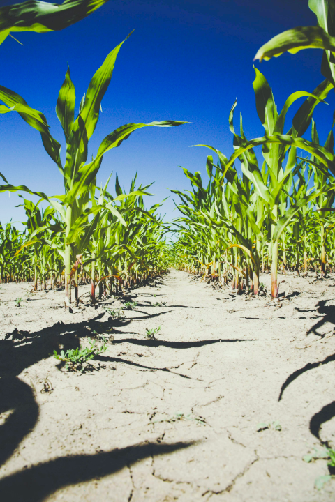
Crop Drought Assessment
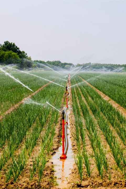
Irrigation Systems Inspection
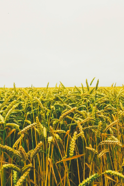
Yield Prediction
Phenotyping