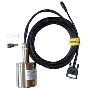
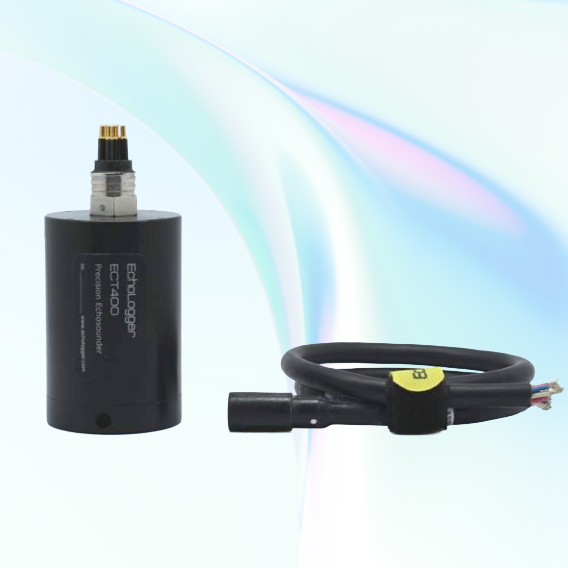
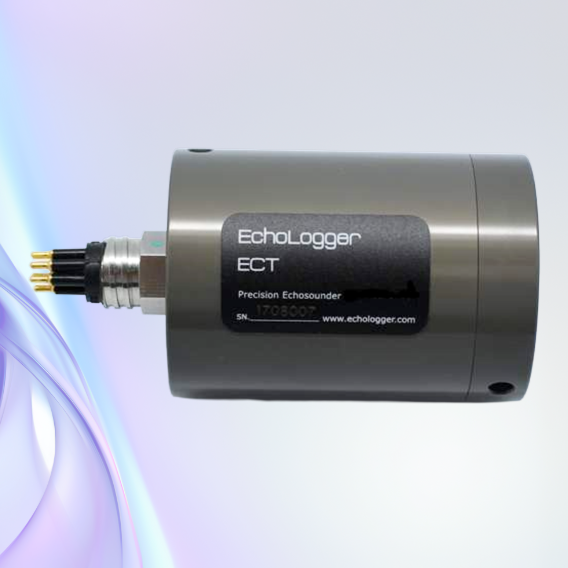
Ø55 × 70 mm
310g Weight
310g Weight
Ultra-Compact Architecture

1 mm Altitude Resolution
7.5 mm Water Column Resolution
7.5 mm Water Column Resolution
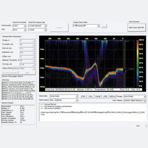
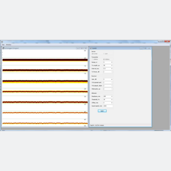
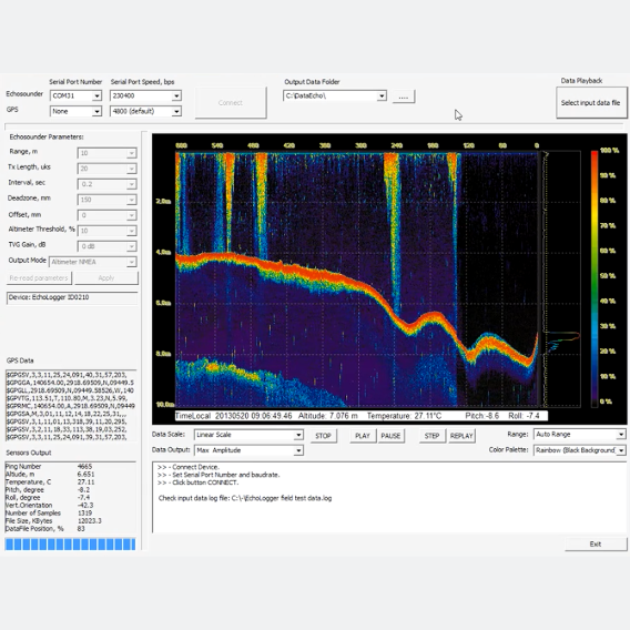
High-Resolution Bathymetry

2W Maximum Consumption
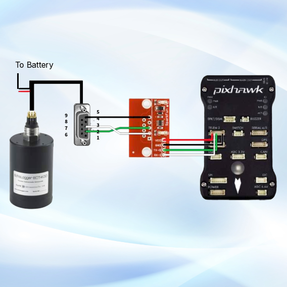
8 - 75 VDC Input
8 - 75 VDC Input
Low-Power Survey Operations
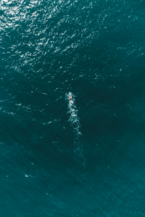
Seabed Mapping (bathymetry)

Scour monitoring
Sediment move monitoring
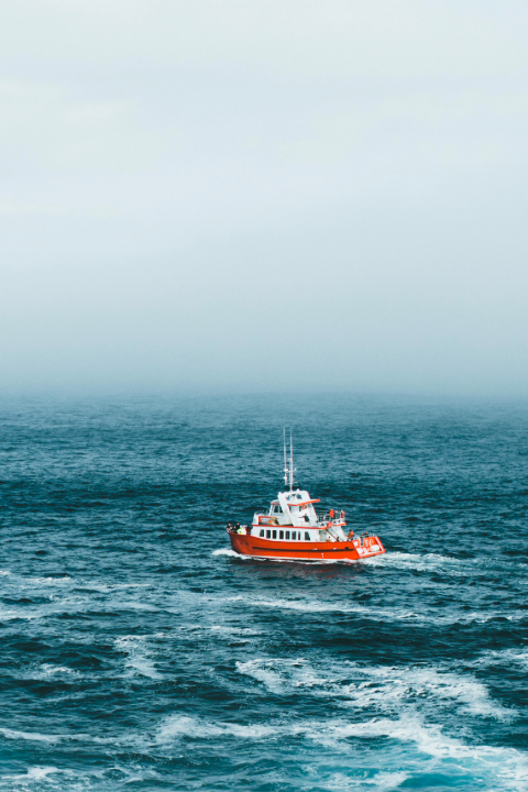
Navigation
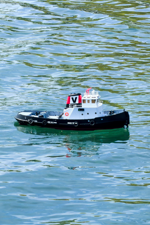
Depth sensor for RC boats

Wave Measurement