Up to
1.25kg
Weight

≤
5 cm
Absolute Accuracy

Up to
450 m
Max Detection Range

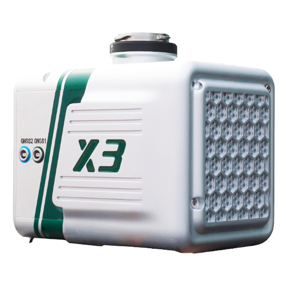
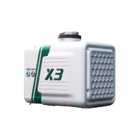
| Specifications |
LiAir X3C-H |
LiAir X3-H |
|---|---|---|
| LiDAR Range | Up to 300 m90% reflectivity | Up to 450 m80% reflectivity |
| Absolute Accuracy | ≤ 5 cm | ≤ 5 cm |
| Detection Range | 80 m @ 10% reflectivity 200 m @ 54% reflectivity 300 m @ 90% reflectivity | 190 m @ 10% reflectivity 450 m @ 80% reflectivity |
| Point Rate | 1,920,000 pts/secTriple return | 720,000 pts/secTriple return |
| Field of View (FOV) | 360° × 40.3° | 70.4° × 4.5° |
| LiDAR Channels | 32 ChannelsHesai | 6 ChannelsLivox-based scanning |
| Camera | 26 MP Mapping Camera | 26 MP Mapping Camera |
| GNSS / IMU | GNSS + IMUMulti-constellation | Integrated POSGNSS + IMU |
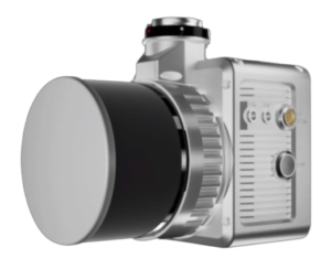
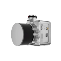
| Weight | 1.12 kg | 1.25 kg |
| Scanning Type | 360° Rotating LiDAR | Forward / Non-Repetitive LiDAR |
| Use Case Focus | Dense mapping, urban + inspection | Long-range mapping, corridors |
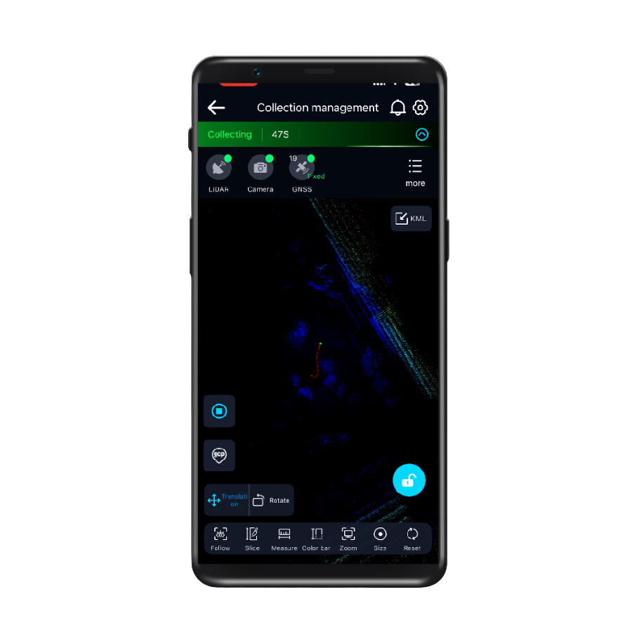
GreenValley App
Real-time 3D visualization and control—monitor, adjust, and capture with confidence.

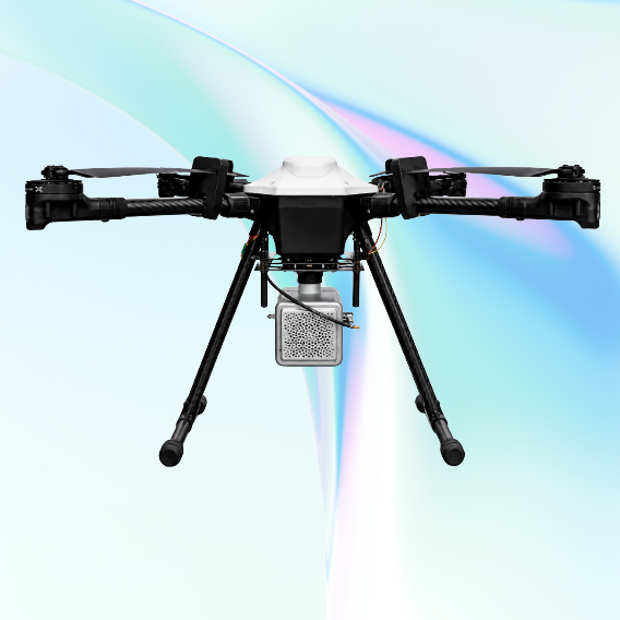
JATAYUH MAX UAV
Powering Smarter Missions
UAV for Every Customised Need
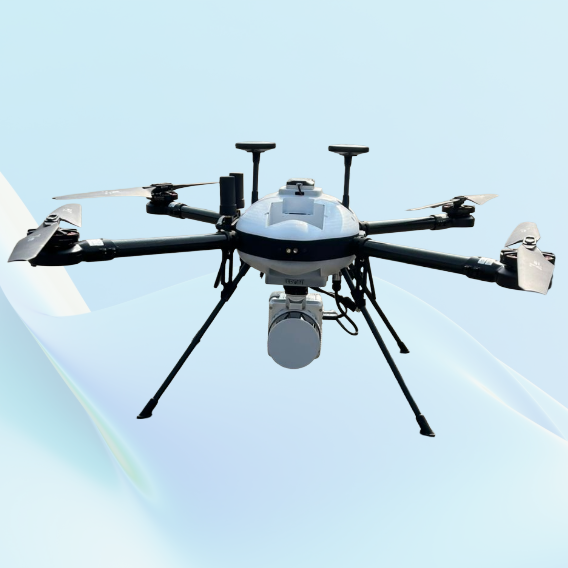
SHAURYA UAV
Delivering Distinction
Professional LiDAR & Multispectral Drone

Forestry
Learn More
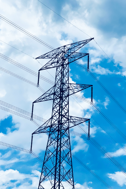
Power Line
Learn More
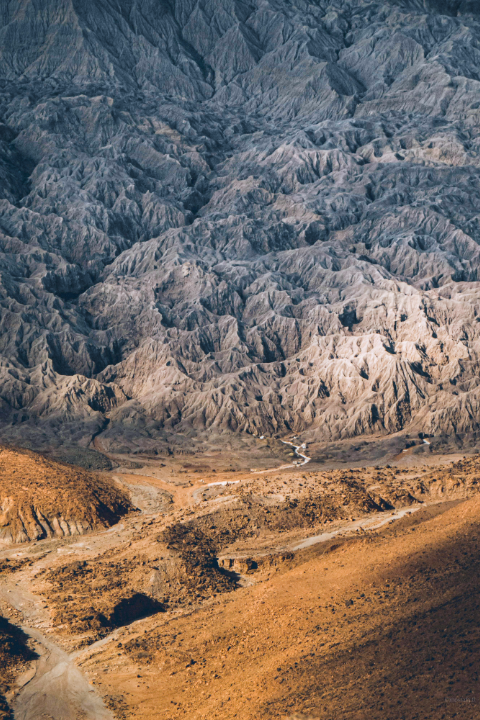
Terrian
Learn More

HD Maps
Learn More
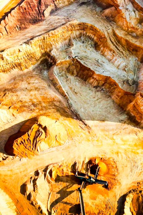
Mining
Learn More
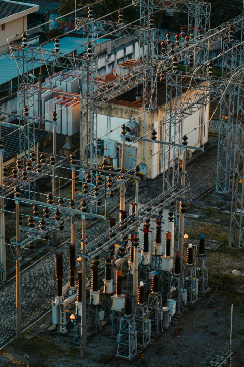
Utilities
Learn More