Ravi Yadav
Founder & MD
Ravi is an Aerospace Engineer and UAV systems specialist with deep expertise in drone design, flying taxis, and complex flight operations, having built UAVs since 2012. With 500+ UAV missions across industries and R&D exposure at ISRO–DOS (NESAC), he brings strong technical and operational depth with domestic and international experience in UAV design, the Aerospace domain, along with strong business development and operations management practices. At Mirai Aerospace, he leads strategy, global partnerships, and operations, driving end-to-end UAV, LiDAR, and geospatial solutions for government, defence, and industrial sectors.
Parag Shinde
Co-founder, Director & CTO
Parag is a Civil Engineer and Geomatics expert with deep hands-on expertise in UAV, LiDAR, and GPR technologies, and a post-graduate degree in Geomatics from IIT (ISM) Dhanbad. He brings 12+ years of rich experience across the Geospatial and Remote Sensing industry, along with research exposure at ISRO–SAC. His work includes pioneering initiatives such as India’s first LiDAR-based open-pit mine monitoring system and the country’s first explosion-proof laser scanner. As a ‘Technology Evangelist’ at Mirai Aerospace, he leads technology, builds solutions, and passionately promotes integrated geospatial solutions across land, aerial, and subsurface domains.

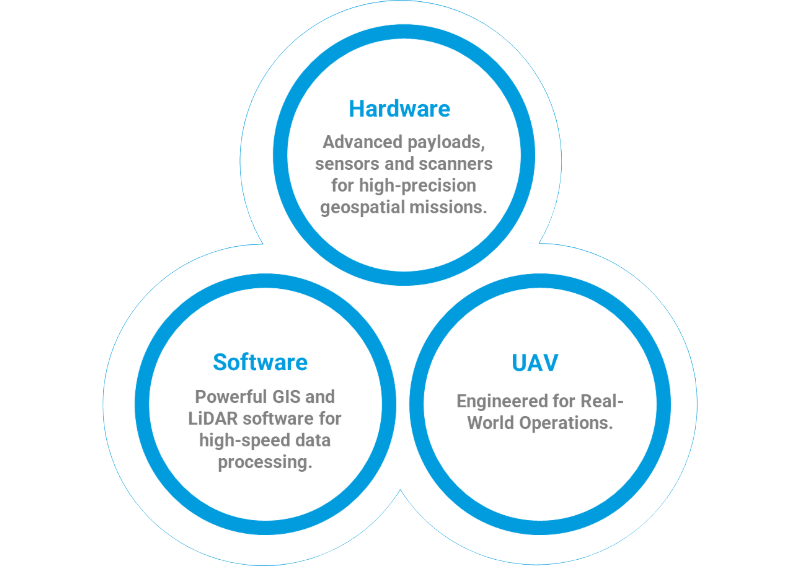
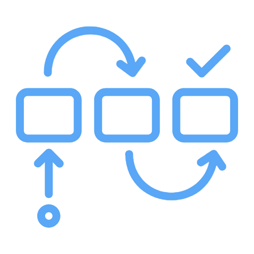
End-to-End Geospatial Solutions
Capture -> Process -> Insights, delivering actionable geospatial intelligence.

System Integration Expertise
Seamless integration of geospatial intelligence for complete, ready-to-deploy solutions.

Deep Tech Expertise
Accelerate surveys, LiDAR processing, and project delivery with optimized workflows.
Scalable Geospatial Workflows
Built for large-scale mapping, high-volume data, and complex geospatial projects.

Strong Technical Partnership
End-to-end support across deployment, training, and execution.

Faster Time-to-Revenue
Convert opportunities into revenue, quickly and efficiently