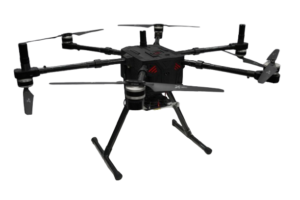
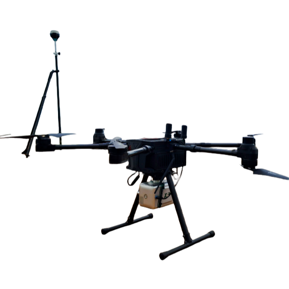
Over
40 mins
Flight Time

Max
2 Km
Range

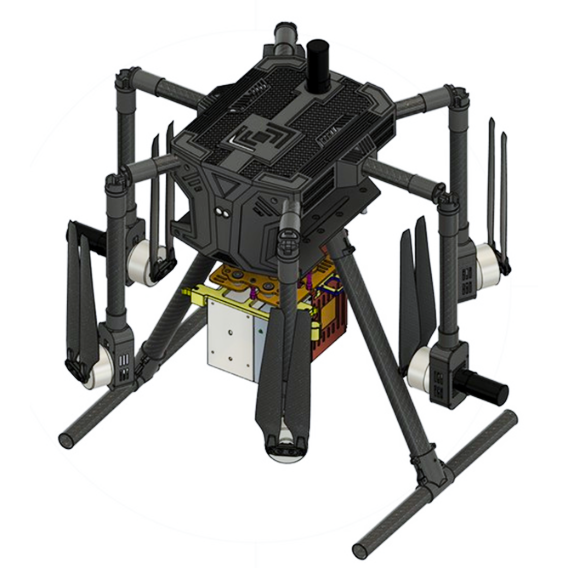
Max
2.5 Kg
Payload
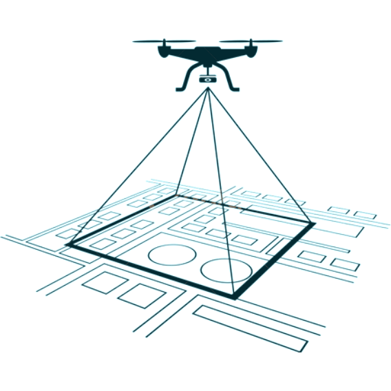
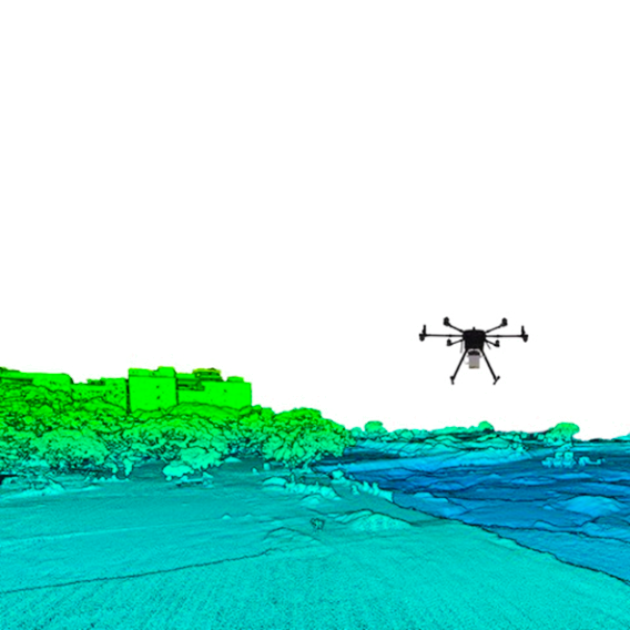


Mapping

Surveying

Mining
Learn More

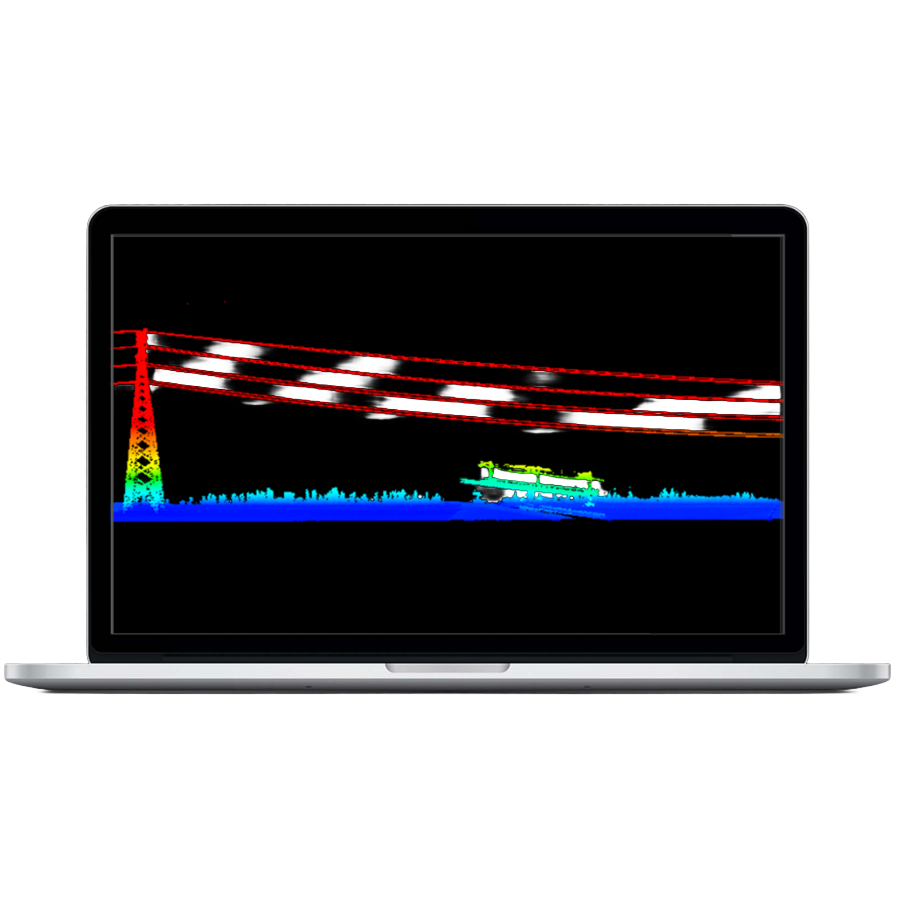
Power Line Inspections

Construction

Disaster Management