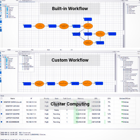
Universal Platform

Multi-Source Data

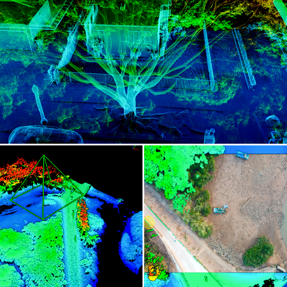
Massive Data Rendering

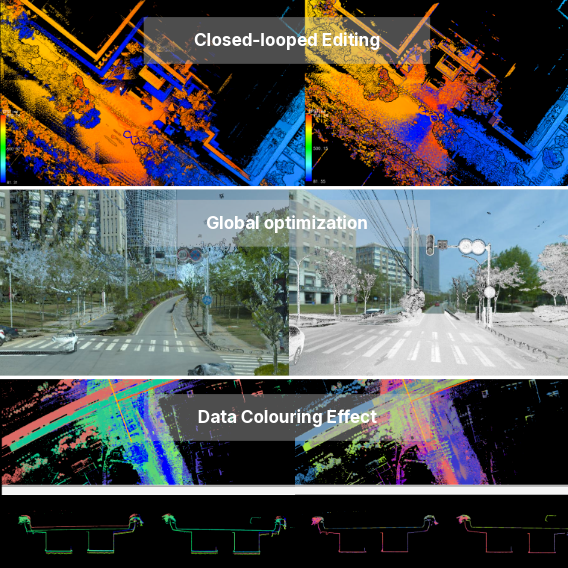
Accuracy Improvement

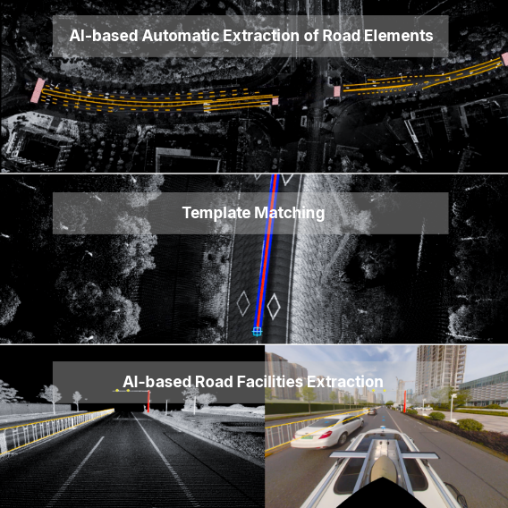
AI Automation

Intelligent Mapping

3D Analysis

Multi-Industry