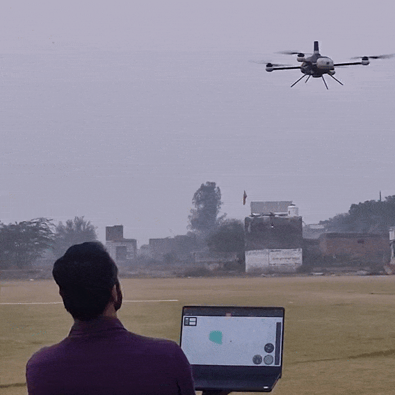
Up to
40 min
Flight Time

Max
1 Km
Range

Max
500 g
Payload
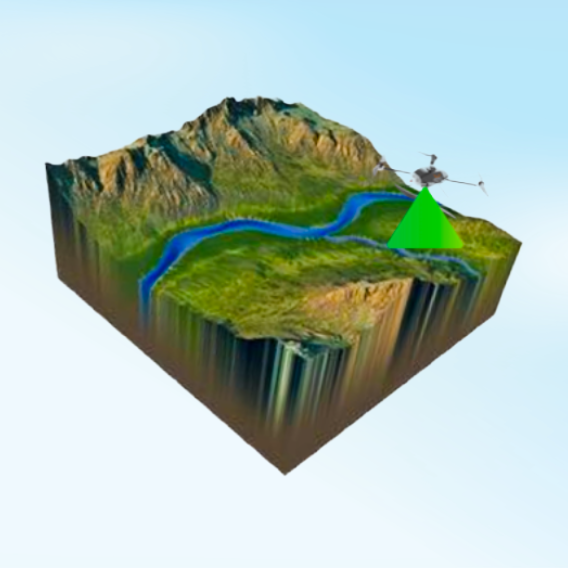
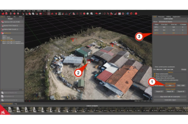

Aerial Surveying

Land Mapping

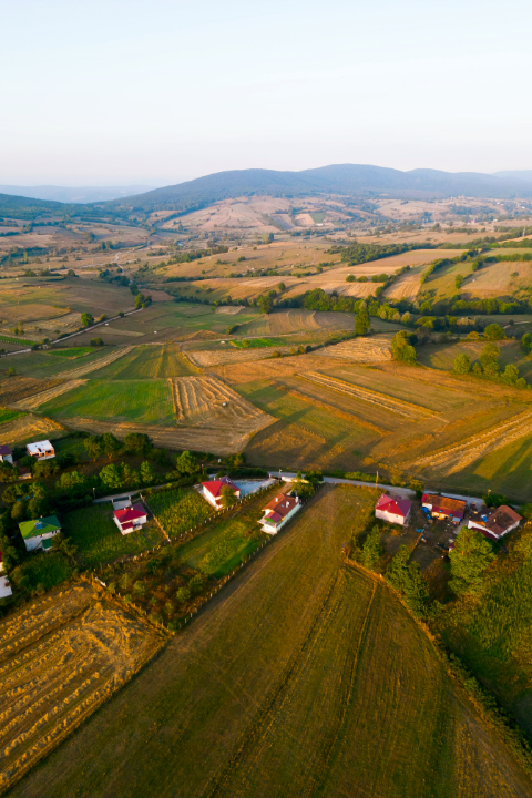
Agricultural Mapping
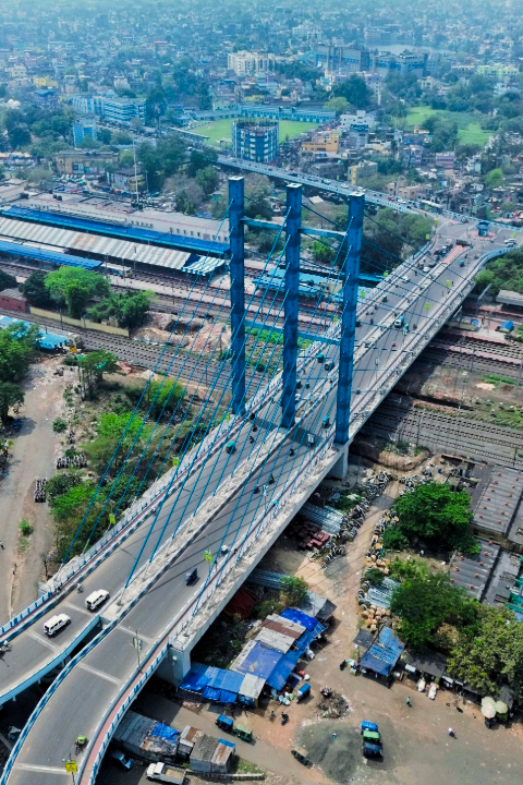
Infrastructure Inspection

Construction Progress

Mining & Quarry