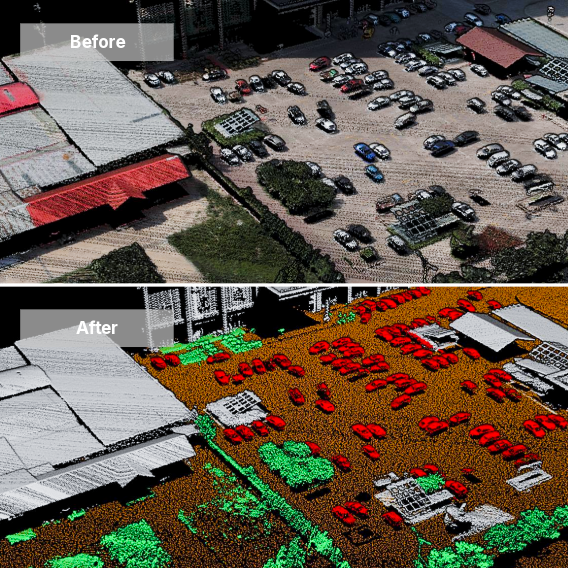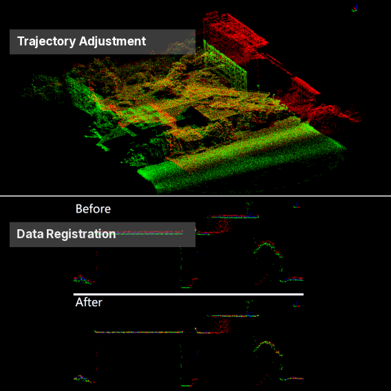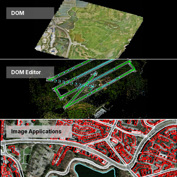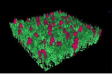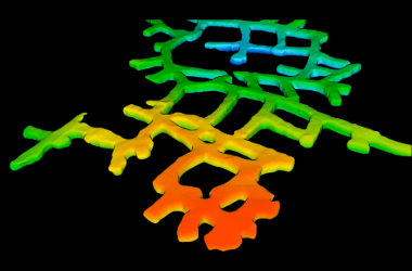
Multi-Source Data Fusion

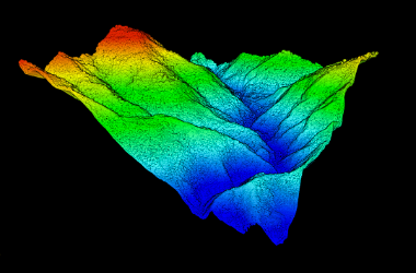
Massive Data Support

User-Friendly

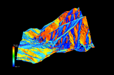
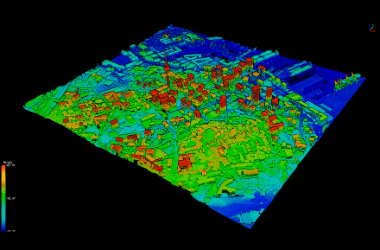
Multi-Industry

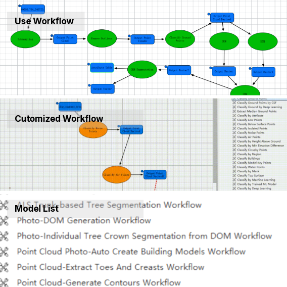
One-click Operation

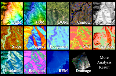
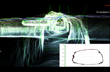
Custom Workflow

Batch Processing

Universal Platform