Large Stockpile Volume Measurement.
See Every Pile. Measure Every Volume.
Overview
Large stockpiles of coal, salt, gravel, sand, ore, and aggregates are critical to mining, ports, construction, and material-handling operations. Accurate volume measurement is essential for inventory management, production planning, material reconciliation, and commercial reporting. However, irregular pile geometry, large coverage areas, and difficult-to-access surfaces can make conventional surveying slow, labour intensive, and difficult to repeat. For mining, quarrying, logistics, and construction operations, inaccurate measurements can lead to billing discrepancies, inventory errors, and operational costs. LiDAR-based 3D measurement provides a faster and more reliable way to capture cargo volume and support efficient material management.
LiDAR-based stockpile volume measurement captures detailed 3D surface data to reconstruct the complete geometry of stockpiles and calculate their volumes. Flexible deployment using fixed or multi-sensor configurations enables faster, repeatable measurements while reducing manual effort and the need for personnel to access unstable or hazardous stockpile surfaces. The captured point clouds support detailed surface reconstruction, allowing irregular shapes, slopes, and variations in pile geometry to be represented in a 3D model. Automated processing streamlines volume calculation and generates structured measurement data for inventory tracking, material reconciliation, and operational reporting. For larger stockyards and complex sites, scalable sensor configurations help extend coverage and maintain consistent measurement workflows across multiple stockpiles.
Key Challenges
Stockpile Geometry
Surfaces
Measurement Areas
Traditional Surveying
Workflows
Real-Time Data
Understand Stockpile Volumes Faster
Mirai Aerospace, a one-stop GIS and Geospatial Intelligence solution provider, enables fast and accurate stockpile volume measurement using advanced LiDAR and 3D mapping solutions. Designed for complex and large-scale stockpile environments, these solutions help organizations gain clear visibility, reduce survey time, and generate reliable insights for inventory management, material tracking, and operational efficiency.
Large Stockpile Volume Measurement
What Sets Us Apart
Mirai Aerospace delivers advanced LiDAR-based solutions engineered for accuracy, reliability, and performance across complex stockpile environments. From large mining stockyards to industrial storage facilities, Mirai delivers end-to-end capabilities—from 3D data capture and surface reconstruction to volume calculation and analysis—ensuring consistent, reliable measurement results. With a focus on automation, scalability, and operational safety. Mirai Aerospace enables organisations to improve inventory visibility, make informed decisions, and confidently manage bulk material operations.
Benefits
Surface Coverage
Volume Measurement
Measurement Cycles
Measurement
Data Processing
Deployment
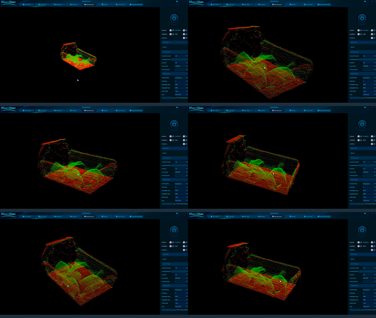
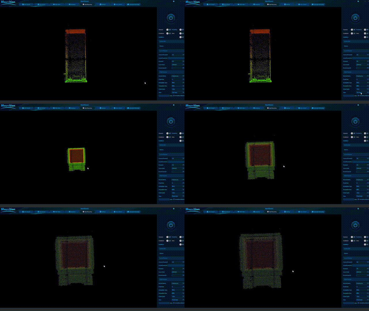
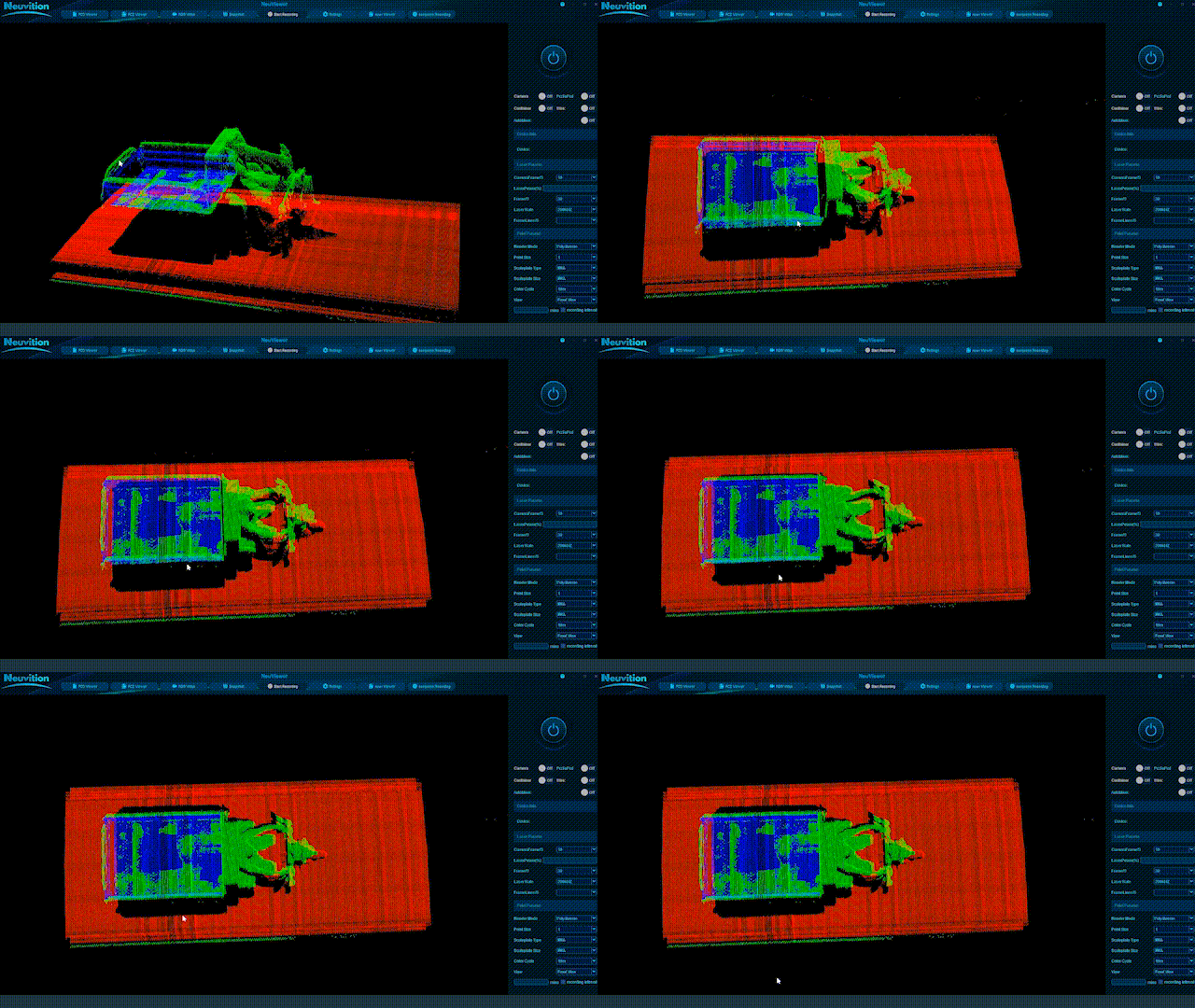
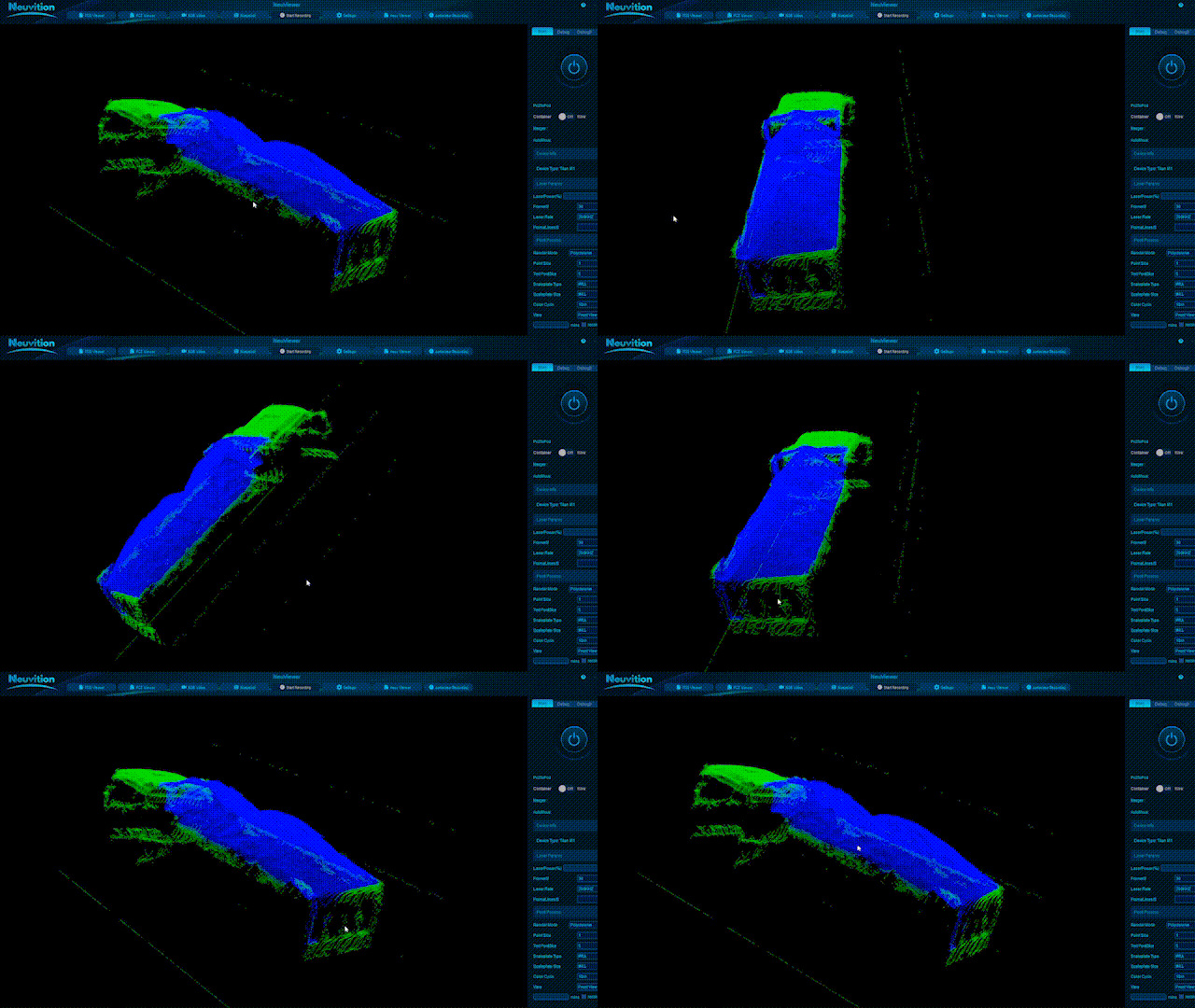
Visualising Cargo in 3D


LiDAR scans capture detailed 3D images of trucks and their cargo. These scans show the shape and height of the loaded material from different angles. The system uses this data to calculate cargo volume and measure each load. This helps improve measurement accuracy and track bulk materials more efficiently.
Use Cases
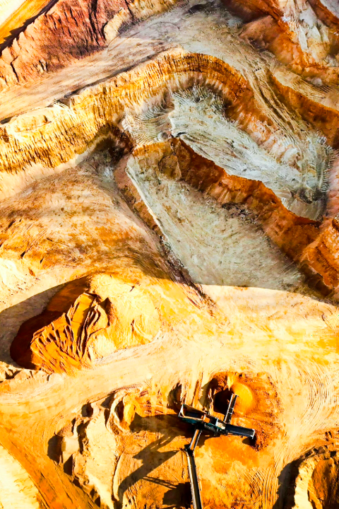
Mining & Quarry Operations
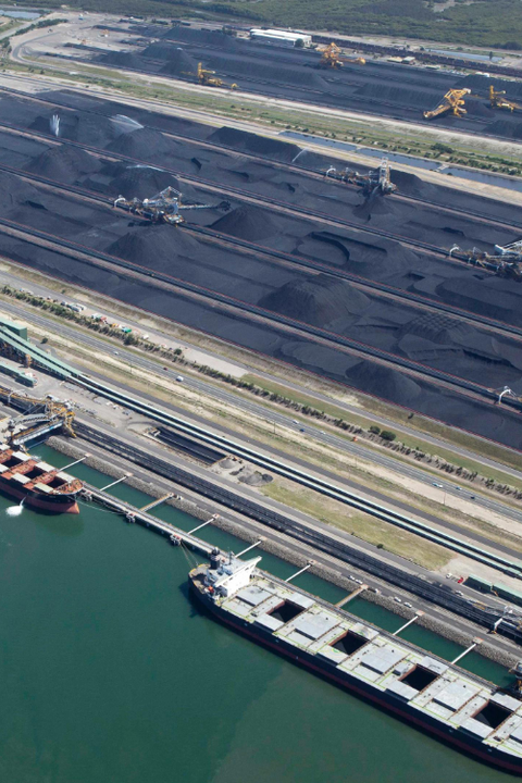
Ports & Terminals
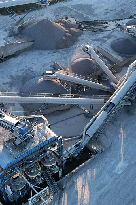
Cement Construction Material Plants
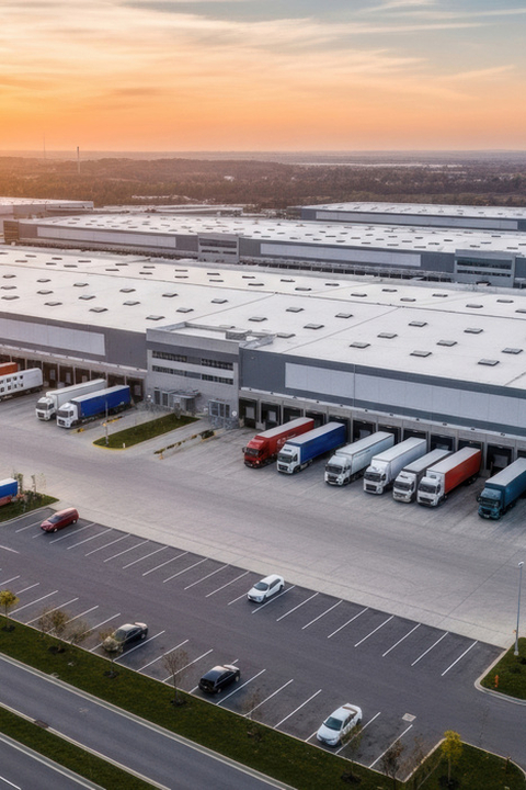
Logistics & Distribution Hubs
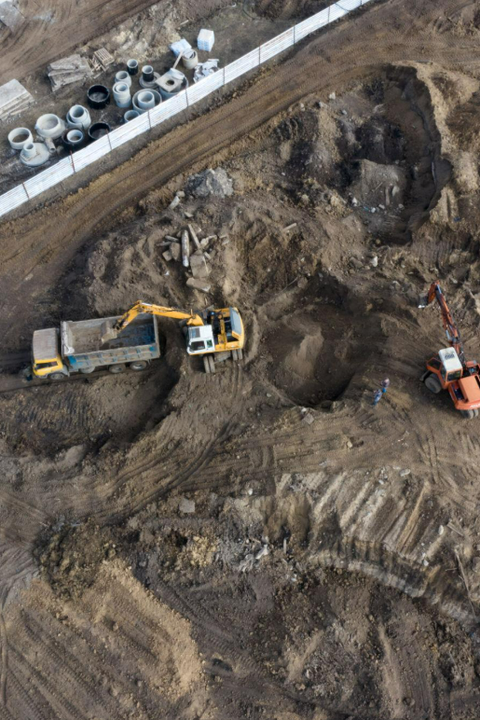
Earthwork & Bulk Transportation
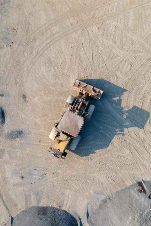
Stockyards & Material Storage
Compatible Payloads
Complete Stockpile Visibility Starts Here
With Mirai, Measure large stockpiles with reliable 3D data.