
Advanced LiDAR Technology.
XT Series LiDAR
High-Precision 3D Sensing. Extended Range. Detailed Perception.
Engineered for Precision Across Every Point Cloud
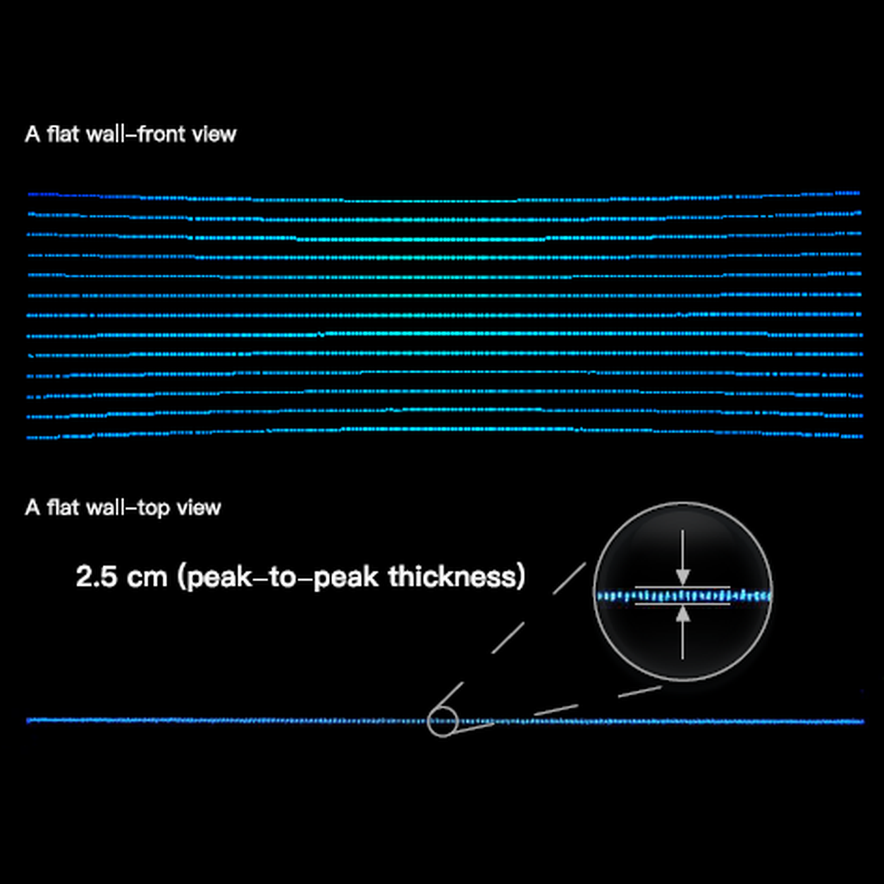
Turn real-world environments into detailed 3D maps with the Hesai XT Series. Designed for accurate mapping and reliable perception, the XT16, XT32, and XT32M capture up to 1.92 million points per second, with up to 32 channels. Typical range accuracy of ±1 cm helps capture objects, structures, and terrain with greater detail. With instrument ranges of up to 300 m and triple-return capability on the XT32M, the series supports applications from industrial navigation to UAV mapping and surveying.
Key Features
High Point-Cloud Output
Ranging Precision
High Vertical Resolution
Extended Instrument Range
Multi-Return Capability
Lightweight Design
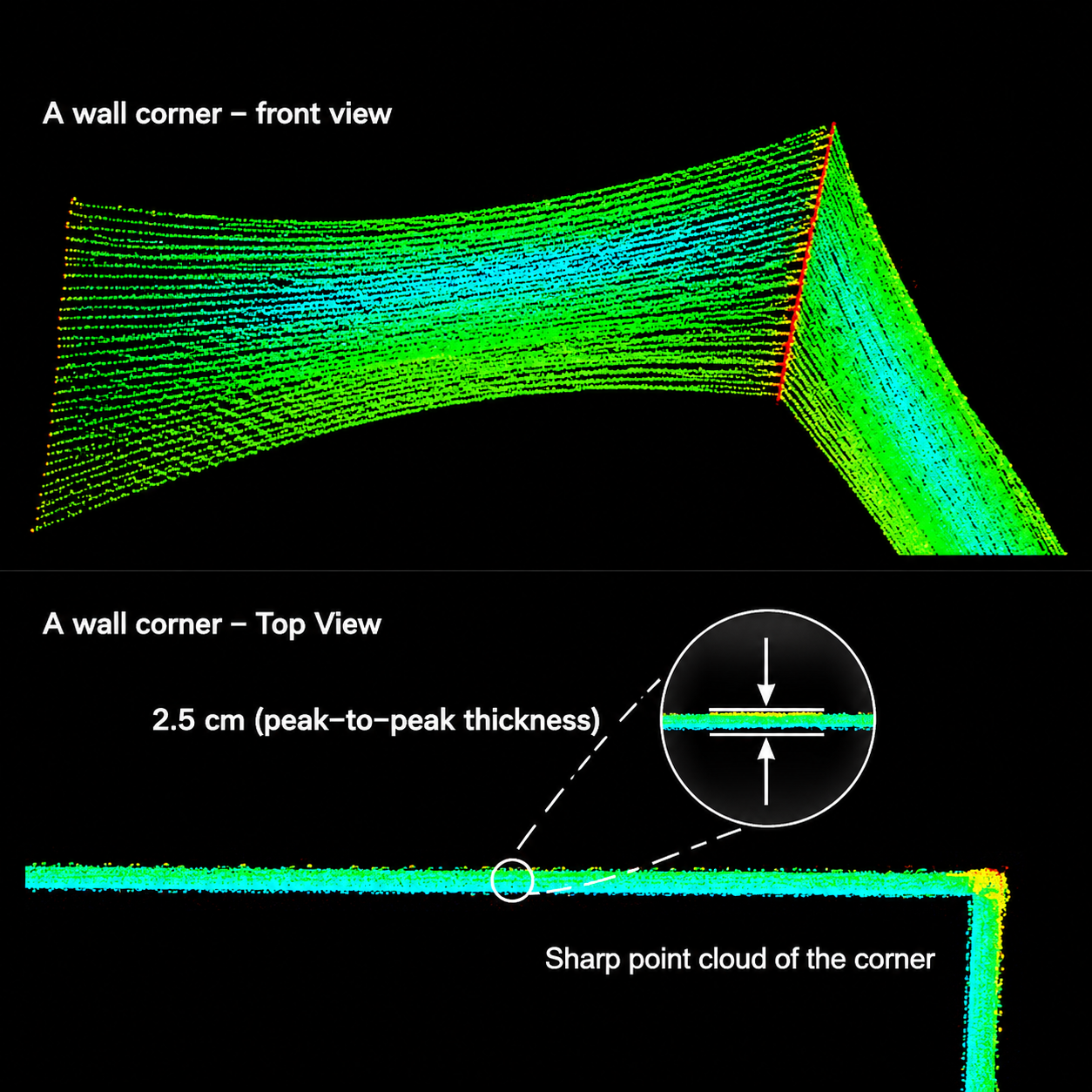
Sharper Edges. Cleaner 3D Reconstruction.
- Improve edge definition for clearer structural details.
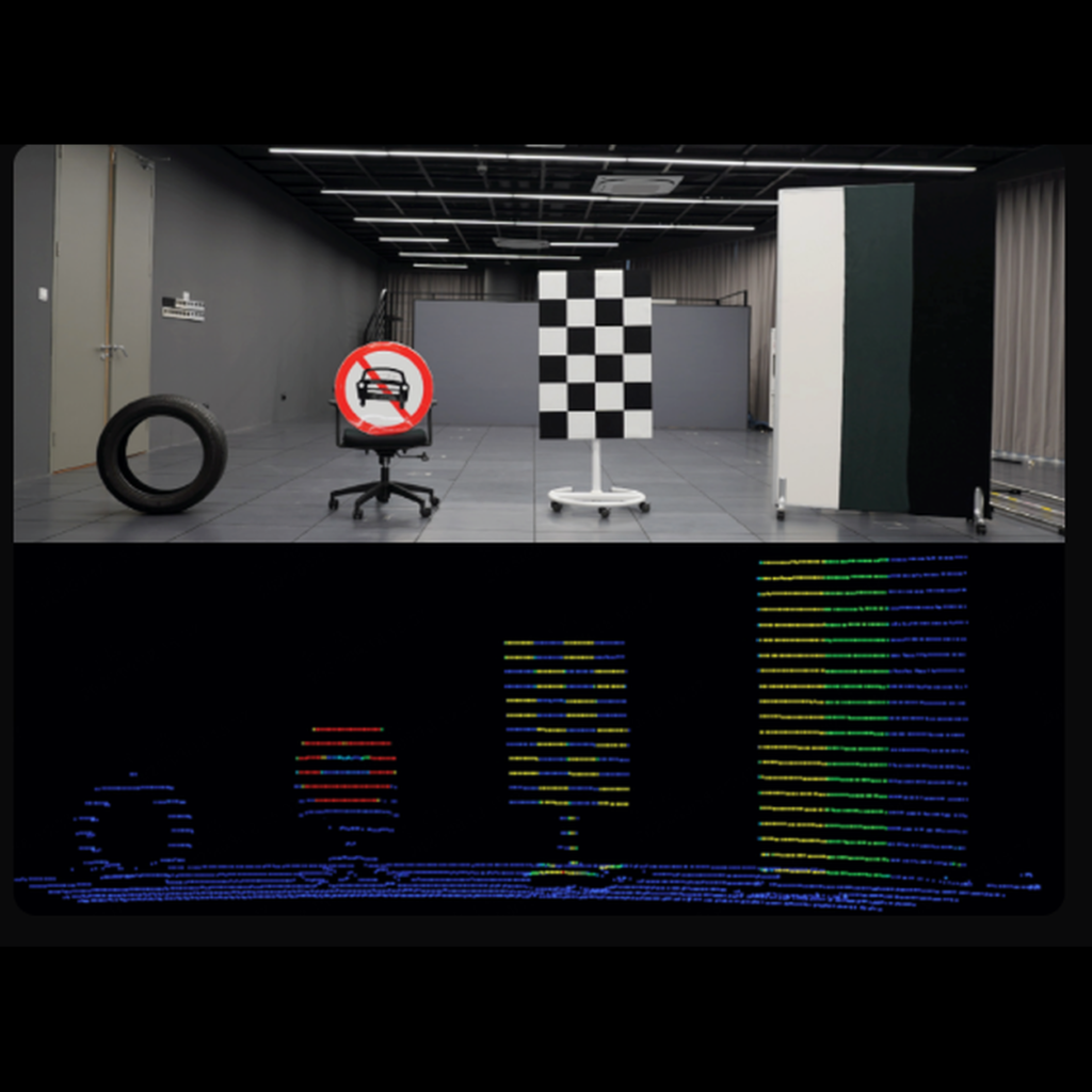
- Separate closely positioned objects for cleaner point clouds.
- Support different sampling requirements with 16 or 32 laser channels, depending on the model.
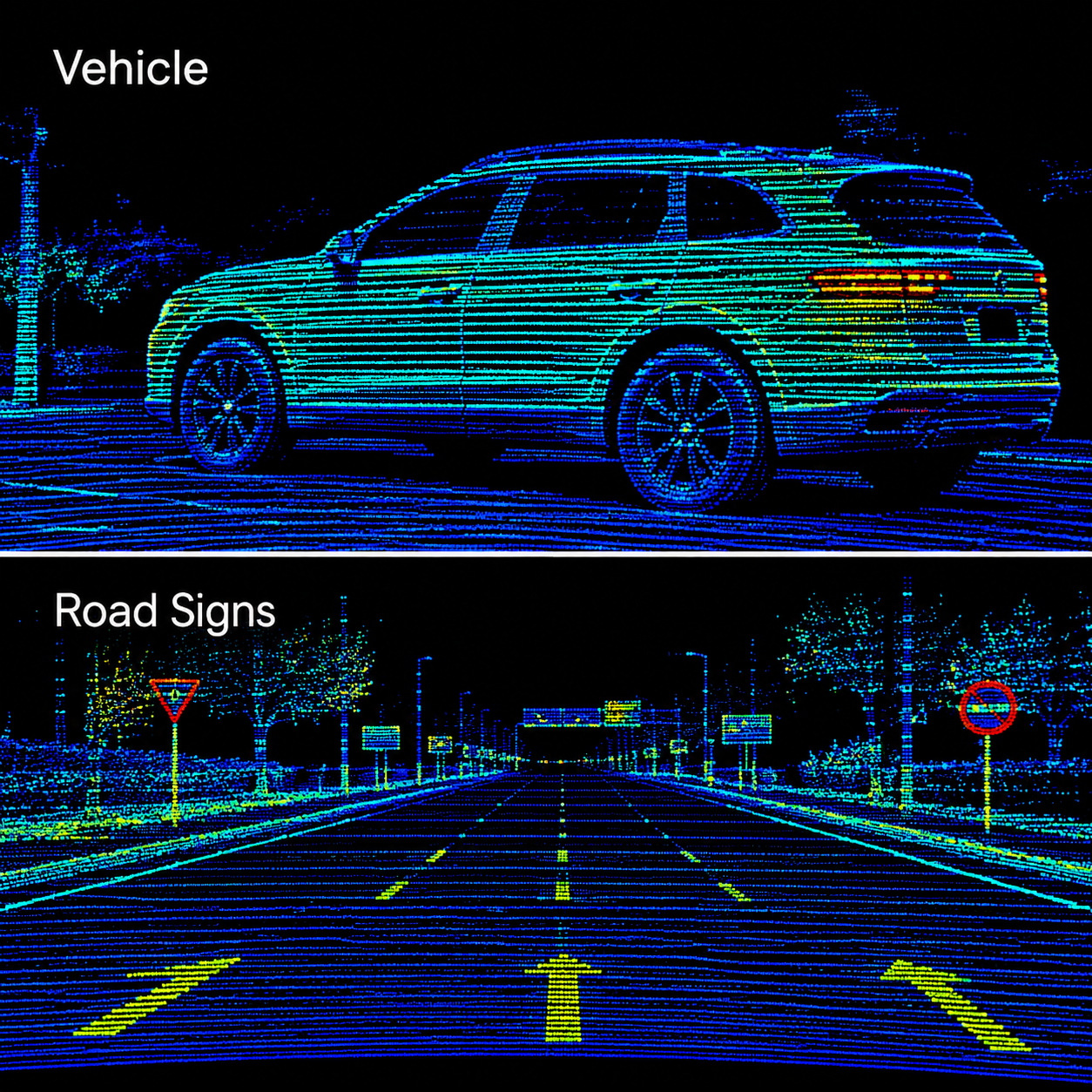
Distinguish Surfaces Through Intensity Data.
- 1.7% to 100% reflectivity targets, covering dark and highly reflective surfaces.
- Additional surface information to support environmental interpretation.
- Intensity data for mapping workflows, including road mapping, infrastructure surveys, and SLAM.
Reliable Sensing in Multi-LiDAR Environments.
- Identify unwanted LiDAR signals operating at the same wavelength.
- Reduce interference-related returns that can affect perception quality.
- Support multi-sensor environments, including autonomous robots, warehouse vehicles, and sensor-equipped platforms.
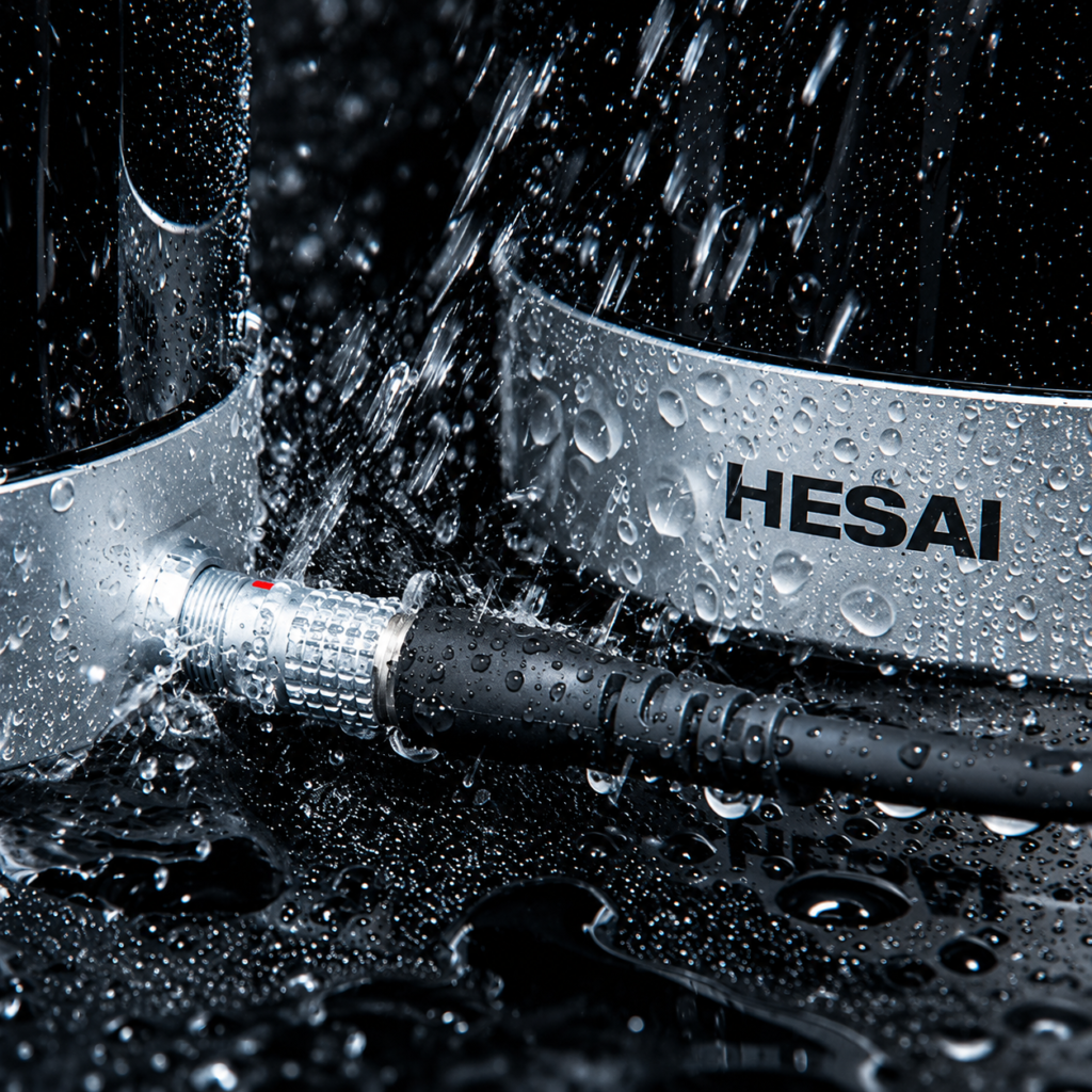
Engineered for Long-Term Industrial Operation.
- Temperature variation
- Vibration and mechanical shock
- Humidity
- Dust and water exposure
Know More About Hesai XT Series LiDAR
| Specification | XT32M | XT32 | XT16 |
|---|---|---|---|
| Channels | 32 | 32 | 16 |
| Ranging Capability | 0.5 – 300 m | 0.05 – 120 m | 0.05 – 120 m |
| Range Precision | 0.5 cm (1σ) | ||
| Accuracy | ±1 cm | ||
| Point Rate (Single Return) | 640,000 pts/s | 640,000 pts/s | 320,000 pts/s |
| Field of View (H × V) | 360° × 40.3° | 360° × 31° | 360° × 30° |
| Angular Resolution (H × V) | 0.18° × 1.3° | 0.18° × 1° | 0.18° × 2° |
| Dimensions | Ø 93 × 75 mm | Ø 76 × 103.2 mm | Ø 76 × 103.2 mm |
| Weight | 490 g | 800 g | 800 g |
USE CASE POINT CLOUD


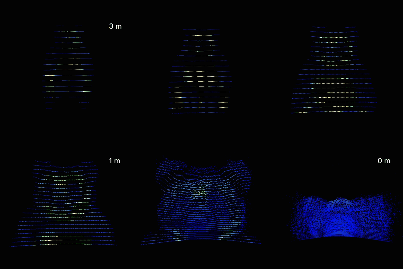
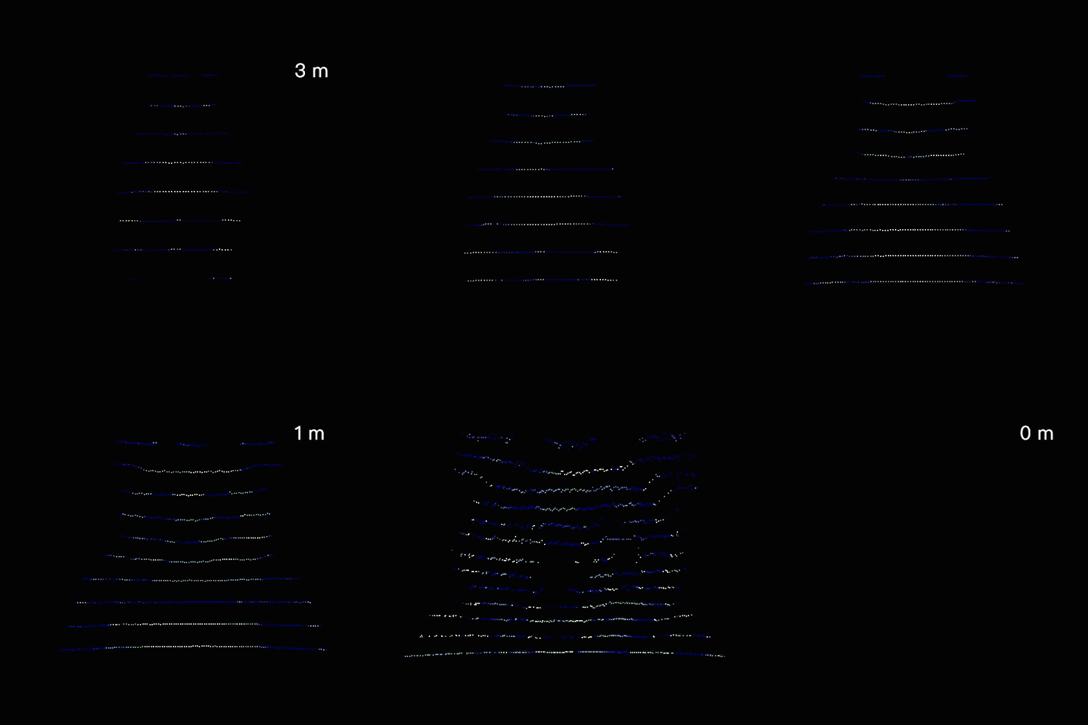
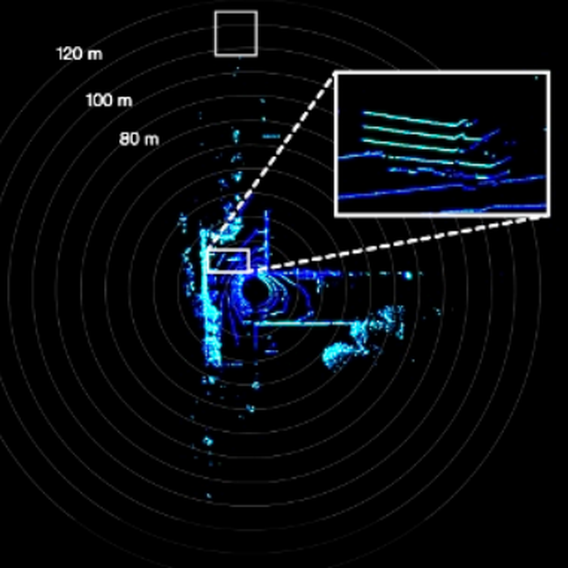
Capture objects even at extremely close range with the Hesai XT. Its zero minimum range enables continuous, valid point-cloud output even when an object touches the sensor, delivering near-field visibility where conventional 16-channel LiDAR sensors begin losing data within 0.5 m.
Applications
Warehousing & Logistics
Spatial Sensing & Reality Capture
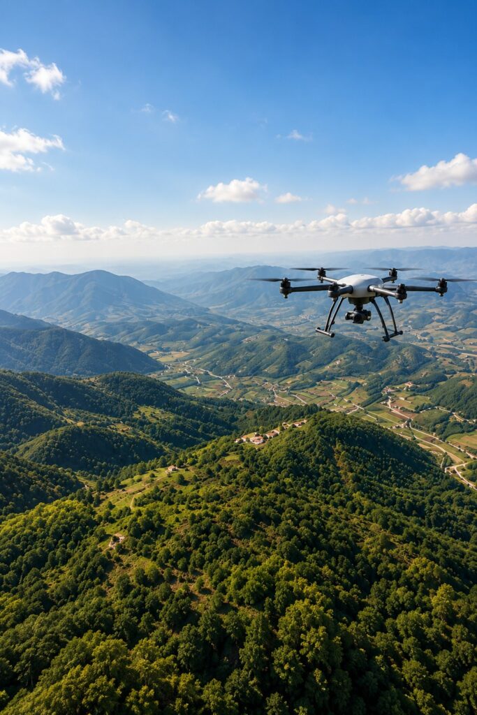
UAV Mapping & Surveying
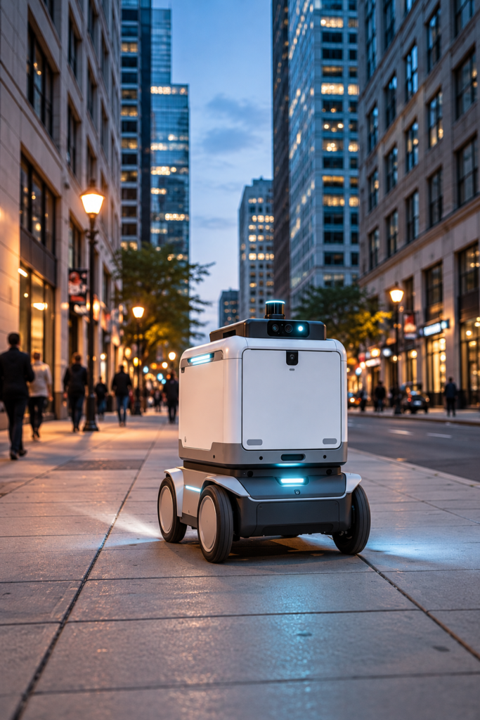
Service Robotics & Delivery Robots

Factory AGVs & Industrial Automation
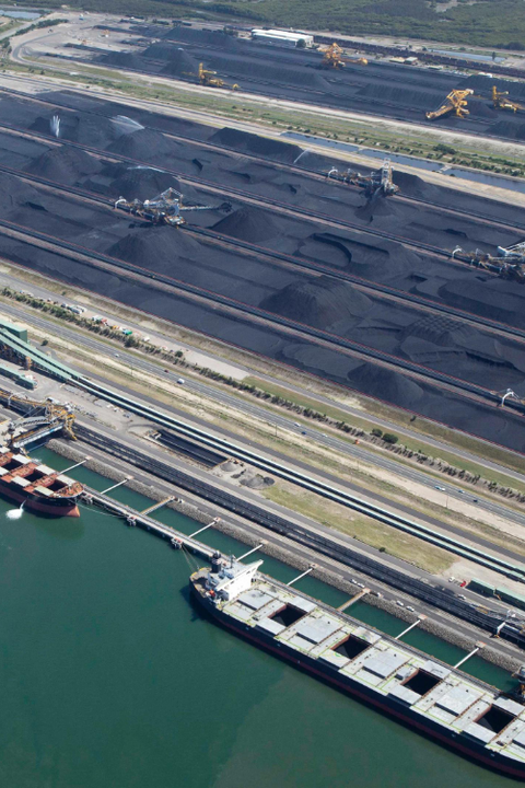
Port & Yard Automation
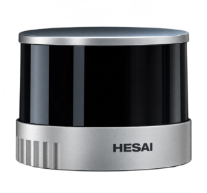
In today's data-driven world, accurate spatial insights demand reliable, high-performance LiDAR. The Hesai XT Series combines high ranging precision, dense point-cloud data, and extended detection range for detailed 3D mapping and environmental perception across robotics, surveying, and industrial automation.
Looking for the Right Hesai XT Series LiDAR?
Discover the right Hesai XT Series LiDAR for high-precision 3D mapping, robotics, and industrial applications.