
Generic selectors
Exact matches only
Search in title
Search in content
Post Type Selectors

Ultra-High Spatial Resolution.

MT Series LiDAR

Survey-Grade Precision. Finer Details. Compact Design.

High-Resolution 3D Reconstruction

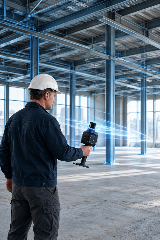
Capture finer details and bring complex environments to life with the Hesai MT Series. Designed for high-resolution 3D mapping, it helps you capture intricate structures and create detailed 3D models with greater clarity. Its lightweight 300 g design makes scanning easier, giving you the flexibility to capture more across diverse environments.

Key Features

Laser Spot

70% Smaller
Captures Finer Environmental

Ranging Precision

3.5 mm
Precise Spatial Reconstruction

Capture Capability

Field of View

320° × 60°
Wider Coverage for Efficient Scanning

Compact Design

40% Smaller Volume
Simplified System Integration

Camera

Point Cloud

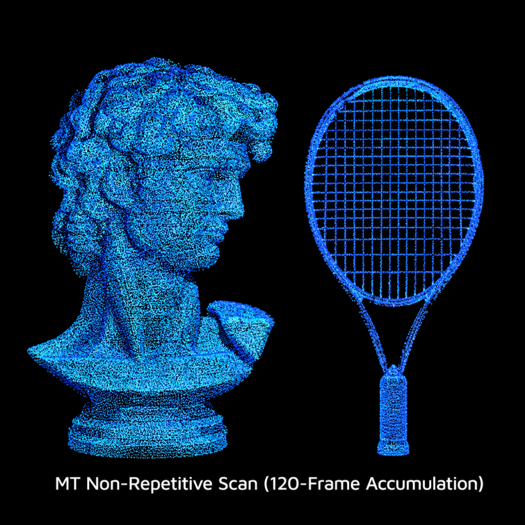
120-Frame Accumulation
Denser Point Clouds with Cumulative Scanning

Lightweight Design

300 g
Effortless Handheld Scanning
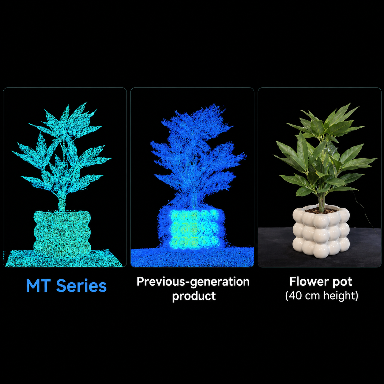
Capture the Details Others Miss.

Complex environments often contain narrow gaps, overlapping structures, and intricate edges that are difficult to capture clearly.
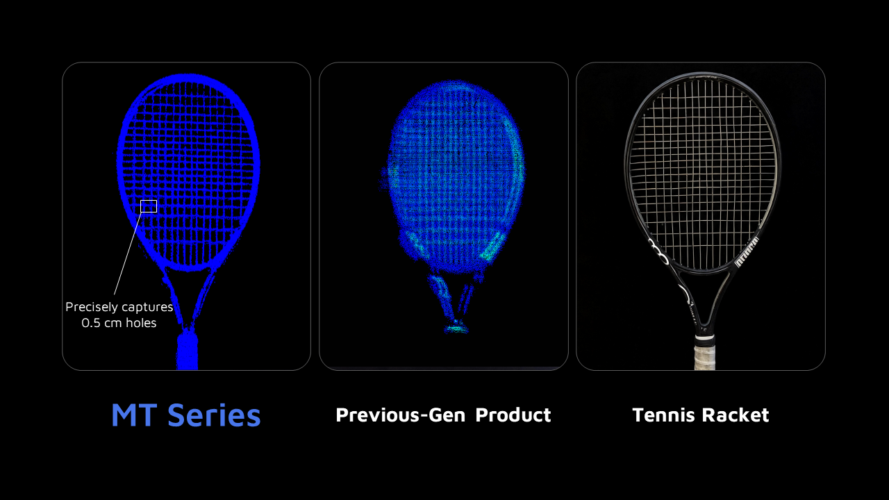
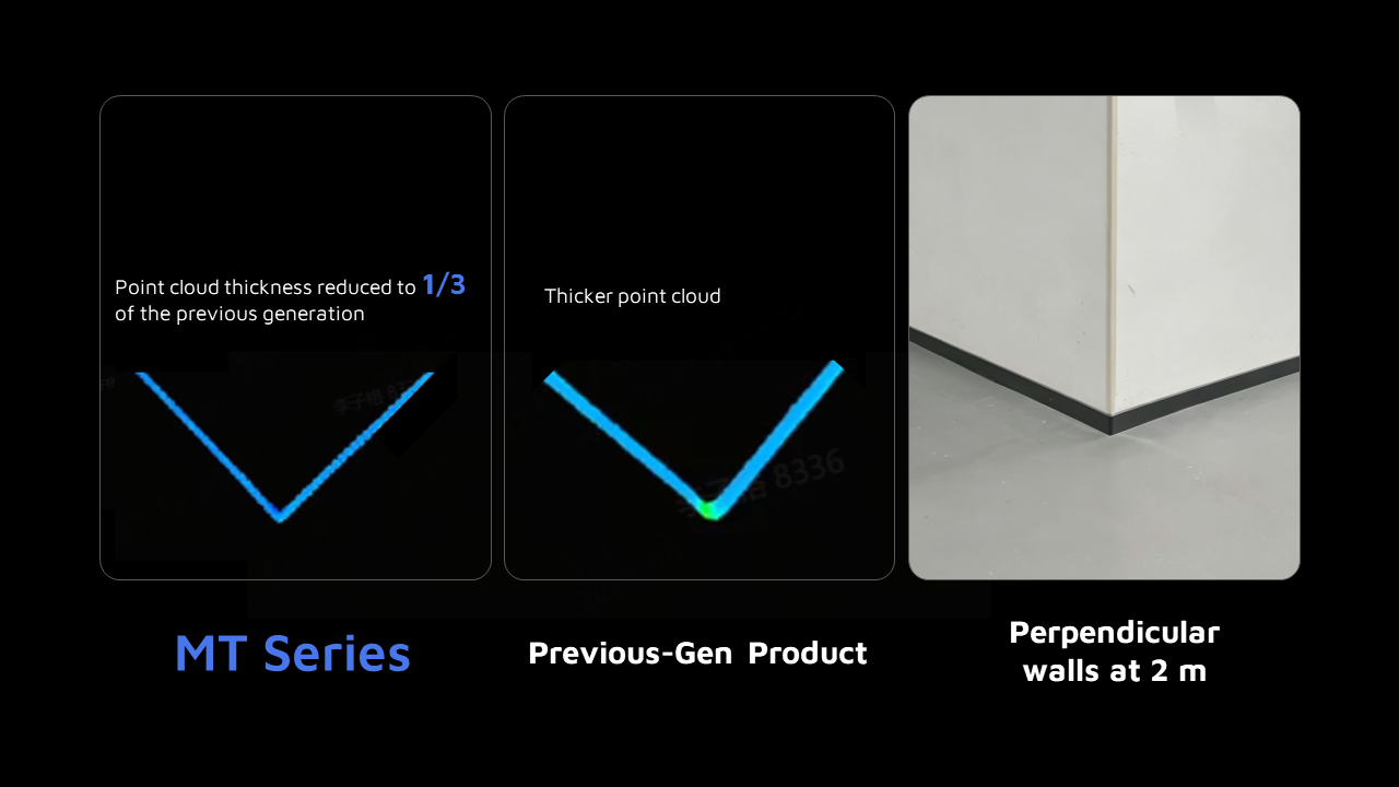
The MT Series uses an upgraded laser transmission module and precision optomechanical design to control its laser beam more precisely. With a 70% smaller beam spot area at 20 m compared with the previous-generation XT:

  • Helps distinguish adjacent objects
  • Reduces mixed returns
  • Preserves finer structural details

From dense pipelines to building corners and layered vegetation, capture clearer point clouds for more detailed 3D reconstruction.

Reconstruct Real-World Geometry.

Accurate 3D models depend on how faithfully captured data represents real-world shapes, dimensions, and spatial relationships. The MT Series delivers:
  • 3.5 mm Ranging Precision
  • 30% Improvement Over the Previous-Generation X
  • Produces cleaner point cloud surfaces
  • Clearly defines geometric contours
This precision supports detailed reconstruction of buildings, industrial facilities, and complex equipment. By reducing point cloud registration and reconstruction errors, it minimises post-processing and supports dimensional analysis and digital twins.

Build a More Complete Point Cloud.

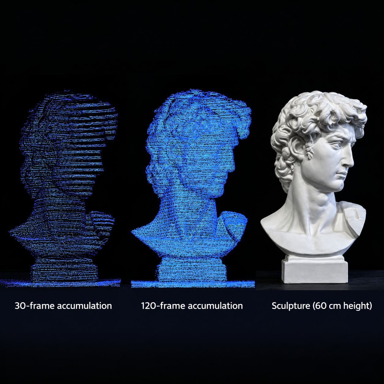
A single scan may leave gaps in complex structures, so the MT Series uses cumulative scan densification to fill uncovered areas. With this technology, the MT Series:
  • Builds denser point clouds by adding new sampling points as scanning continues.
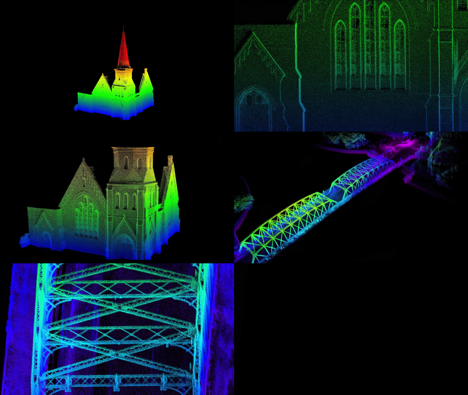
  • Captures finer structures through extended scanning, as demonstrated by Hesai’s 120-frame accumulation example.
  • Reduces data gaps and uneven point distribution through its uniform densification mechanism.
This creates more complete spatial data for detailed 3D modelling, dimensional measurement, and digital twin applications.

Cover More. Reposition Less.

Capturing large or complex environments often requires multiple scans and device repositioning. The MT Series offers a field of view of up to 320° × 60°, covering more area in a single scan.The wider field of view offers:
  • Up to 320° × 60° coverage to capture more of the surrounding environment.
  • 1.5× the vertical coverage of the previous generation with the 60° vertical field of view.
  • Improved data capture efficiency across building interiors, industrial facilities, and complex outdoor sites.
By reducing the need for repeated scanning and repositioning, the MT Series helps teams complete data capture faster while maintaining high spatial detail.

Know More About Hesai MT Series LiDAR

Specification MT (VFOV 30°) MT (VFOV 60°)
Model MT (VFOV 30°) MT (VFOV 60°)
Ranging Capability 64 m 40 m
Ranging Precision 3.5 mm
Accuracy ±7 mm
Field of View (H × V) 320° × 30° 320° × 60°
Point Rate (Single Return) 284,500 pts/s 569,000 pts/s
Weight 300 g
Dimensions (H × Ø) 94 × 64 mm

USE CASE POINT CLOUD

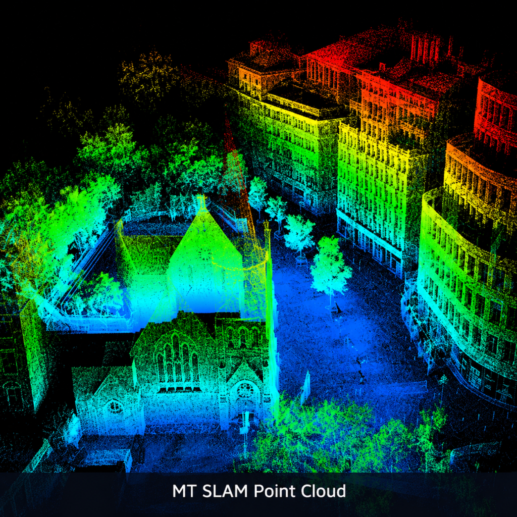
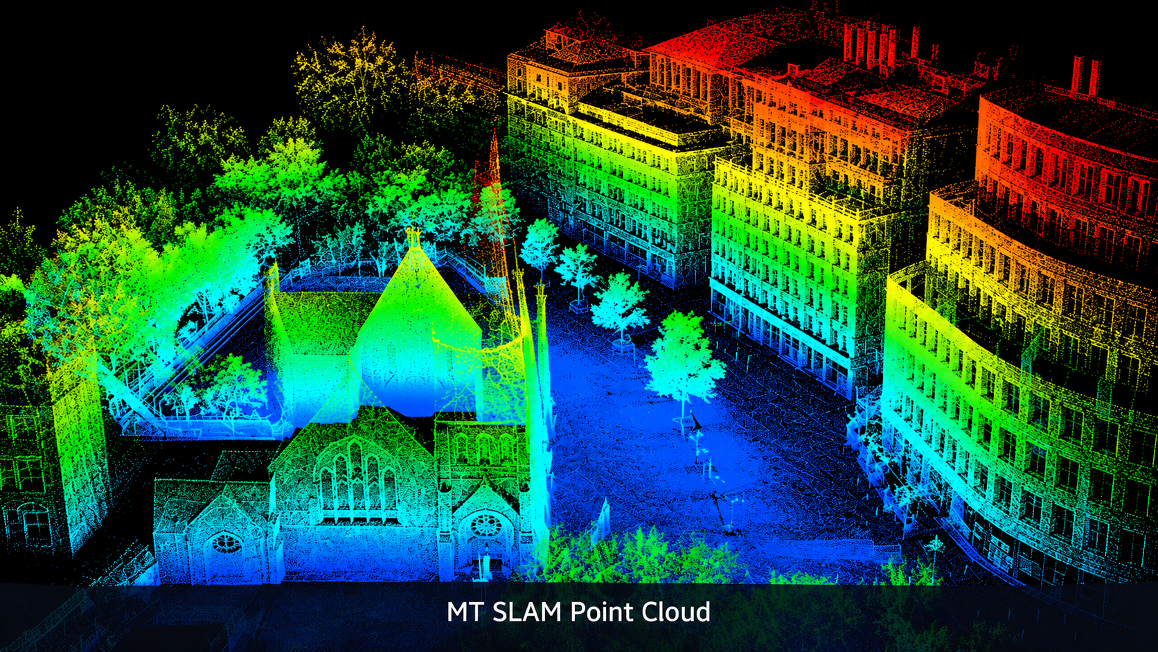
Visualize real-world environments through detailed LiDAR point clouds. Identify vehicles, structures, vegetation, and surrounding objects with colour-coded spatial data for accurate mapping, scene analysis, and 3D environment understanding.

Applications

Feature 1

Handheld Mapping

Vehicle-Mounted Mapping

Vehicle-Mounted Mapping

Terrestrial Laser Scanning
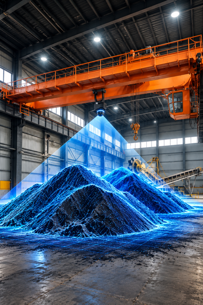
Terrestrial Laser Scanning

Stockpile Volume Scanning
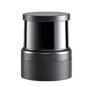
Stockpile Volume Scanning

In today’s data-driven world, detailed spatial insights demand more than basic measurements—they need high-resolution LiDAR. The Hesai MT Series brings clarity, detail, and precision to 3D mapping and reconstruction. Unlock the full potential of your spatial data and turn complex environments into detailed 3D models.

Ready for High Resolution 3D Mapping?

Capture more detail. Map smarter. Achieve more with the MT Series